
Elevation 412 m Population 306 (2006) | Postal code 386 01 Area 7.05 km² | |
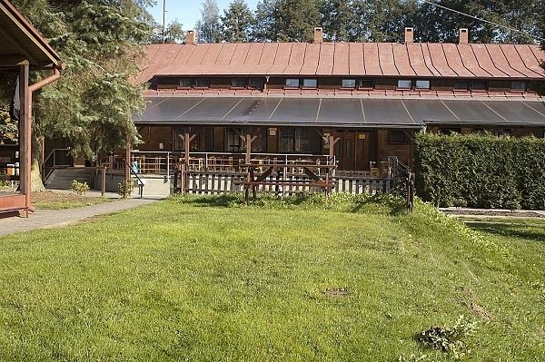 | ||
Horní Poříčí is a village and municipality (obec) in Strakonice District in the South Bohemian Region of the Czech Republic.
Map of 386 01 Horn%C3%AD Po%C5%99%C3%AD%C4%8D%C3%AD, Czechia
The municipality covers an area of 7.05 square kilometres (2.72 sq mi), and has a population of 306 (as at 28 August 2006).
Horní Poříčí lies approximately 10 kilometres (6 mi) west of Strakonice, 62 km (39 mi) north-west of České Budějovice, and 100 km (62 mi) south-west of Prague.
References
Horní Poříčí (Strakonice District) Wikipedia(Text) CC BY-SA