Postal code 468 44 Population 138 (2012) | Time zone CET (UTC+1) Area 2.64 km² | |
 | ||
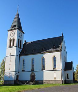
Horní Maxov (German Ober Maxdorf) is a village in the town of Lučany nad Nisou in Jablonec nad Nisou District. It can be found roughly 2 km northwest from Lučany nad Nisou. As of 2008, there were 157 addresses registered here. In 2001, the village had 138 inhabitants. It lies between the Maxovski ridge and the Bramberk on Krásný hill (797 m). The highest peak of Horní Maxov is mount Slovanka (820 m) that is part of the Maxovski ridge.
Map of Horn%C3%AD Maxov, 468 44 Lu%C4%8Dany nad Nisou, Czechia
References
Horní Maxov (Lučany nad Nisou) Wikipedia(Text) CC BY-SA
