
Elevation 340 m | Postal code 763 23 Area 12.65 km² | |
 | ||
Website | ||
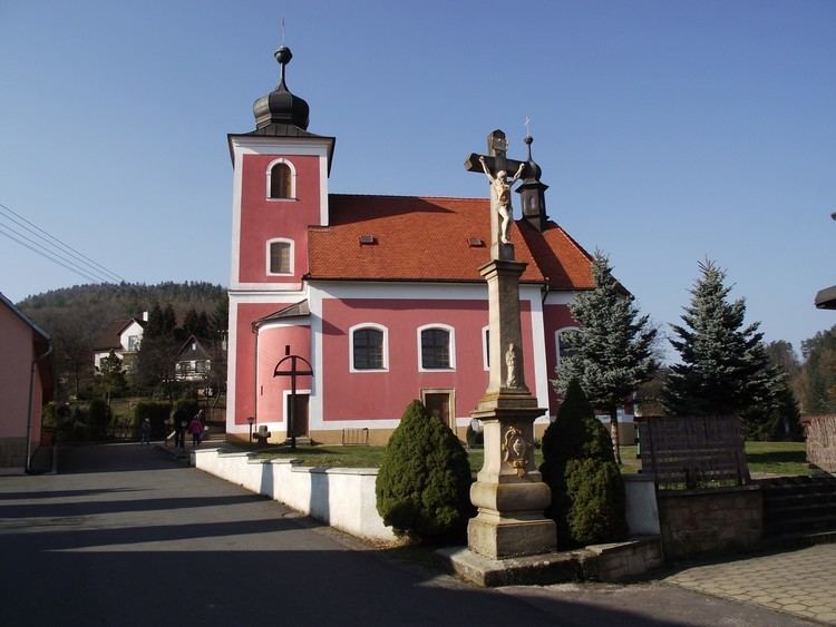
Horní Lhota is a village and municipality (obec) in Zlín District in the Zlín Region of the Czech Republic.
Map of 763 23 Horn%C3%AD Lhota, Czechia
The municipality covers an area of 12.65 square kilometres (4.88 sq mi), and has a population of 546 (as at 28 August 2006).
Horní Lhota lies approximately 14 kilometres (9 mi) south-east of Zlín and 265 km (165 mi) south-east of Prague.
References
Horní Lhota (Zlín District) Wikipedia(Text) CC BY-SA