
District České Budějovice Elevation 493 m Population 112 (2006) | Postal code 375 01 Area 7.84 km² | |
 | ||
Website | ||
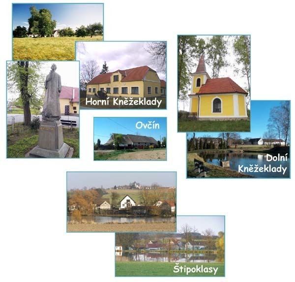
Horní Kněžeklady is a village and municipality (obec) in České Budějovice District in the South Bohemian Region of the Czech Republic.
Map of 375 01 Horn%C3%AD Kn%C4%9B%C5%BEeklady, Czechia
The municipality covers an area of 7.84 square kilometres (3.03 sq mi), and has a population of 112 (as at 3 July 2006).
Horní Kněžeklady lies approximately 25 kilometres (16 mi) north of České Budějovice and 100 km (62 mi) south of Prague.
References
Horní Kněžeklady Wikipedia(Text) CC BY-SA