
Elevation 348 m Population 307 (1 Jan 2012) | Postal code 671 73 Area 6.73 km² | |
 | ||
Website | ||
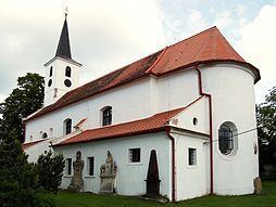
Horní Dubňany is a village and municipality (obec) in Znojmo District in the South Moravian Region of the Czech Republic.
Map of 671 73 Horn%C3%AD Dub%C5%88any, Czechia
The municipality covers an area of 6.73 square kilometres (2.60 sq mi), and has a population of 318 (as at 3 July 2006).
Horní Dubňany lies approximately 27 kilometres (17 mi) north-east of Znojmo, 35 km (22 mi) south-west of Brno, and 172 km (107 mi) south-east of Prague.
References
Horní Dubňany Wikipedia(Text) CC BY-SA