
Elevation 210 m Population 890 (2007) | Region Ústí nad Labem Postal code 411 85 Area 5.09 km² | |
 | ||
Website | ||
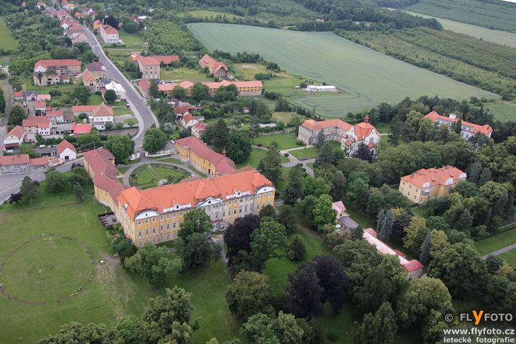
Horní Beřkovice is a village and municipality (obec) in Litoměřice District in the Ústí nad Labem Region of the Czech Republic.
Map of 411 85 Horn%C3%AD Be%C5%99kovice, Czechia
The municipality covers an area of 5.09 square kilometres (1.97 sq mi), and had a population of 890 as of 31 December 2007.
Horní Beřkovice lies approximately 26 kilometres (16 mi) south-east of Litoměřice, 40 km (25 mi) south-east of Ústí nad Labem, and 31 km (19 mi) north of Prague.
The village contains a former mental institution, now the town hall, and a firing range for the police.
References
Horní Beřkovice Wikipedia(Text) CC BY-SA