
District Třebíč Elevation 490 m Population 257 (2005) | Postal code 675 22 Area 7.16 km² | |
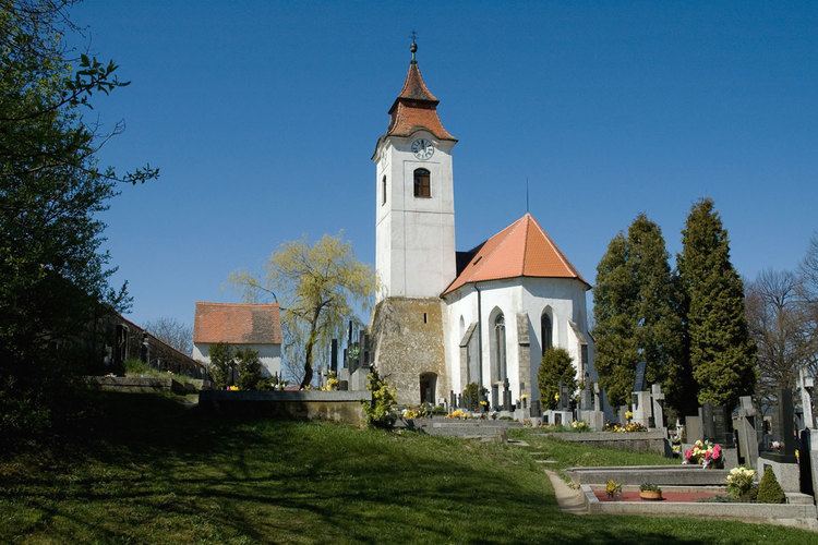 | ||
Horní Újezd is a village and municipality (obec) in Třebíč District in the Vysočina Region of the Czech Republic.
Map of 675 22 Horn%C3%AD %C3%9Ajezd, Czechia
The municipality covers an area of 7.16 square kilometres (2.76 sq mi), and has a population of 257 (as at 2005).
Horní Újezd lies approximately 10 kilometres (6 mi) south of Třebíč, 34 km (21 mi) south-east of Jihlava, and 147 km (91 mi) south-east of Prague.
References
Horní Újezd (Třebíč District) Wikipedia(Text) CC BY-SA