
Highest elevation 370 m (1,210 ft) Population 4 Area 47 km² | Width 2 km (1.2 mi) Highest point Iversenfjellet Elevation 370 m Max length 33 km | |
 | ||
Hopen is an island in the southeastern part of the Svalbard archipelago (Norway). Hopen was discovered in 1613, probably by Thomas Marmaduke of Hull, who named it after his former command, the Hopewell.
Contents
Map of Hopen, Jan Mayen Island
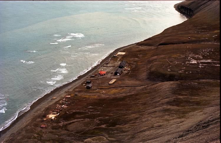
The Norwegian Meteorological Institute operates a manned weather station on the island with a staff of four persons. For the welfare of the crew, there are three cabins available on the island for their use.
During World War II, the Luftwaffe placed a meteorological team there under cover of Operation Sizilien.
Environment
A significant number of polar bears are found at Hopen in the winter; moreover, the sub-population of Ursus maritimus found here is a genetically distinct taxon of polar bears associated with the Barents Sea region.
Important Bird Area
The island has been identified as an Important Bird Area (IBA) by BirdLife International. It supports breeding populations of black-legged kittiwakes (40,000 pairs), thick-billed guillemots (150,000 individuals) and black guillemots (1000 pairs).