
Population 308 (2006 census) LGA(s) Federation Council Postal code 2646 | Postcode(s) 2646 County Hume Elevation 145 m Local time Wednesday 2:05 AM | |
 | ||
Location 12 km (7 mi) from Balldale12 km (7 mi) from Corowa Weather 20°C, Wind NE at 10 km/h, 63% Humidity | ||
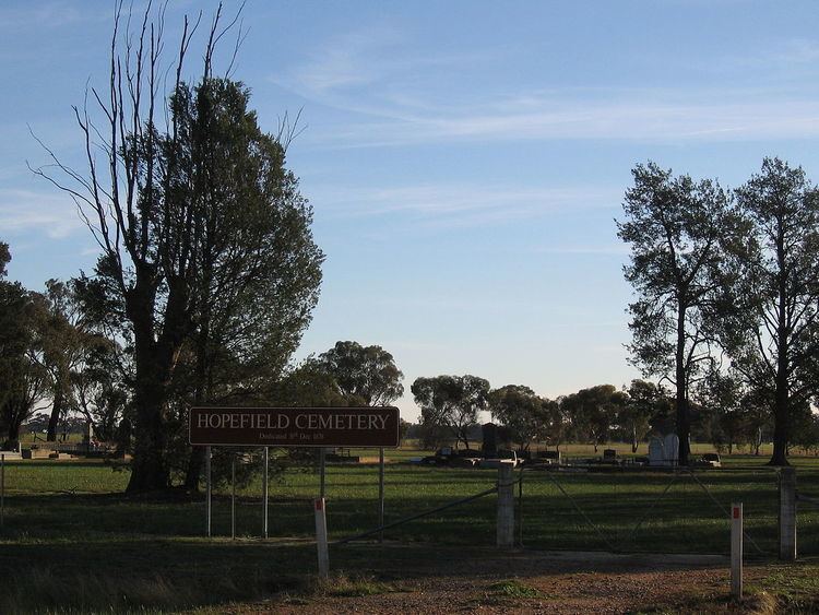
Hopefield is a rural community in the central south part of the Riverina. It is situated by road, about 12 kilometres south west from Balldale and 12 kilometres north east from Corowa. At the 2006 census, Hopefield had a population of 308 people. Hopefield Post Office opened on 1 October 1882 and closed in 1954.
Map of Hopefield NSW 2646, Australia
References
Hopefield, New South Wales Wikipedia(Text) CC BY-SA