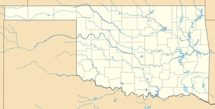
Country United States FIPS code 40-36020 Elevation 216 m Population 4 (2013) | Time zone Central (CST) (UTC-6) GNIS feature ID 1102939 Area 26 ha Local time Tuesday 8:32 AM | |
 | ||
Weather -1°C, Wind N at 3 km/h, 87% Humidity | ||
Hoot Owl is a town in Mayes County, Oklahoma, United States. As of the 2000 census, the town had a total population of zero (5 in 1990). By 2010, the population had risen to 4.
Contents
Map of Hoot Owl, OK 74366, USA
Geography
According to the United States Census Bureau, the town has a total area of 0.1 square miles (0.26 km2), of which, 0.1 square miles (0.26 km2) of it is land and none of the area is covered with water. The town is located at 36.35995 N, 95.12137 W.
Hoot Owl is located on the eastern shore of Lake Hudson.
Demographics
As of the census of 2010, there were 4 people living in the town.
References
Hoot Owl, Oklahoma Wikipedia(Text) CC BY-SA
