
Country United States Time zone CST (UTC-6) Area 92.31 km² Population 338 (2010) | Established November 5, 1861 Elevation 141 m Local time Tuesday 8:29 AM | |
 | ||
ZIP codes 62434, 62824, 62839, 62858, 62879 Weather -3°C, Wind N at 16 km/h, 81% Humidity | ||
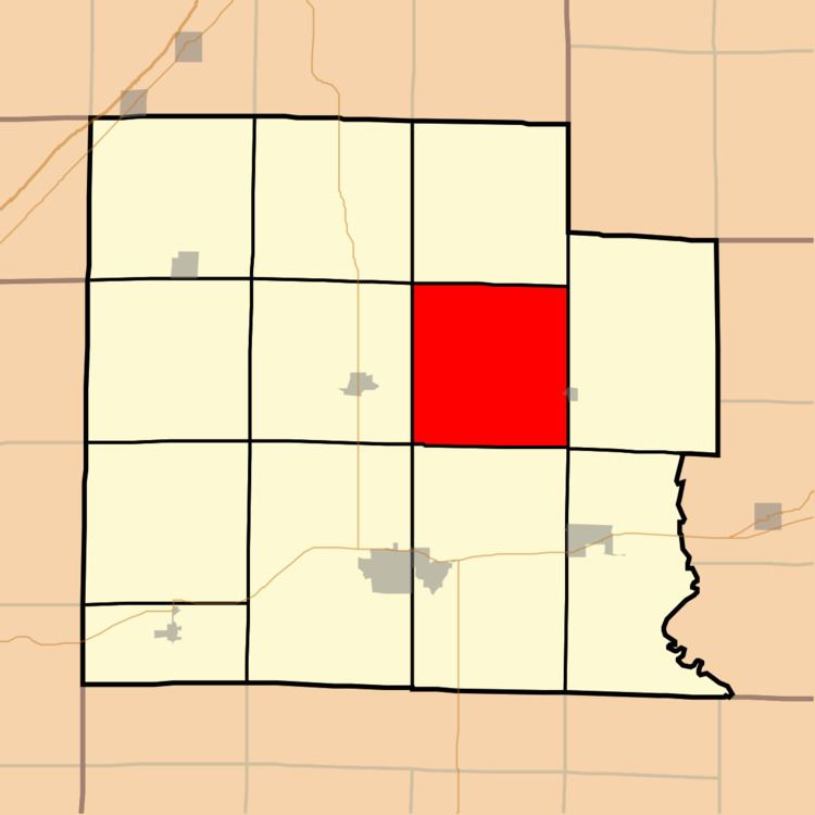
Hoosier Township is one of twelve townships in Clay County, Illinois, USA. As of the 2010 census, its population was 338 and it contained 165 housing units.
Contents
- Map of Hoosier Township IL USA
- Geography
- Cities towns villages
- Unincorporated towns
- Cemeteries
- School districts
- Political districts
- References
Map of Hoosier Township, IL, USA
Geography
According to the 2010 census, the township (T4N R7E) has a total area of 35.64 square miles (92.3 km2), of which 35.61 square miles (92.2 km2) (or 99.92%) is land and 0.03 square miles (0.078 km2) (or 0.08%) is water.
Cities, towns, villages
Unincorporated towns
(This list is based on USGS data and may include former settlements.)
Cemeteries
The township contains these six cemeteries: Dillman, Hoosier Prairie, Kinnamon, McKnight, Number Four and White.
School districts
Political districts
References
Hoosier Township, Clay County, Illinois Wikipedia(Text) CC BY-SA