
Country United States ZIP codes 88336 Elevation 1,594 m Area code 575 | Time zone Mountain (MST) (UTC-7) GNIS feature ID 923610 Population 1,081 (Jul 2007) Local time Monday 11:15 PM | |
 | ||
Weather 8°C, Wind SW at 10 km/h, 42% Humidity | ||
Views of our land in arroyo hondo new mexico
Hondo is an unincorporated community in Lincoln County, New Mexico, United States. It is located about five miles downstream (east) from Ruidosos Downs, where the Rio Bonito and Rio Ruidoso rivers join together to form the Rio Hondo. It is located at the point where U.S. Route 70 is joined by U.S. Route 380, which conjoined route continues eastward. It has had a post office since 1900.
Contents
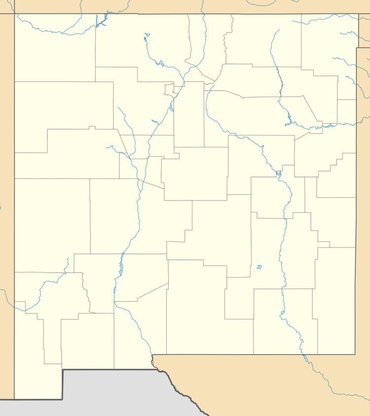
Map of Hondo, NM 88336, USA
History
The community was founded by Spanish settlers from the Rio Grande valley in the 1880s after the U.S. Army had controlled the Apache in the area. It was originally called La Junta (the junction) because of the joining of the Rio Bonito and the Rio Ruidoso. Later it was called Hondo (deep) after the river.
References
Hondo, New Mexico Wikipedia(Text) CC BY-SA