
Population 18 Sovereign state United Kingdom Dialling code 01420 | OS grid reference SU6557838453 | |
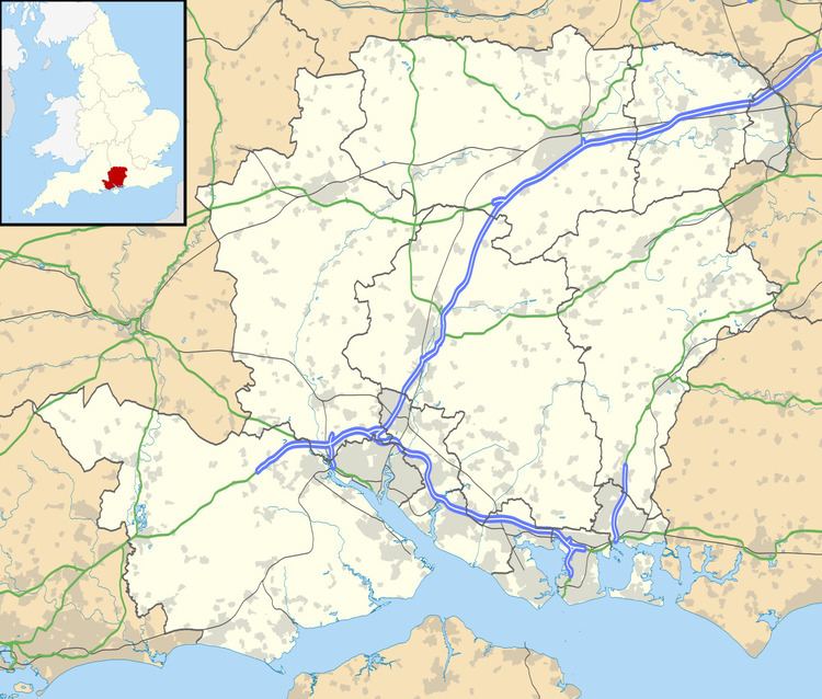 | ||
Holt End is a hamlet in the large civil parish of Bentworth in Hampshire, England, between Bentworth and Medstead. The nearest town is Alton, which lies approximately 4 miles (6.4 km) north-east from the hamlet.
Contents
Map of Holt End, Alton, UK
The word Holt means a small grove of trees, copse, or wood, and Holt End means the end of a wood.
The nearest railway station is Alton which is 4 miles (6 km) to the east. Until 1932 it was the Bentworth and Lasham railway station on the Basingstoke and Alton Light Railway, until its closure.
Parish Boundary
The Civil Parish (CP) boundary between Bentworth and Medstead is at the bend in the road at Trinity Farm, the boundary then running east towards the village of Beech.[2] This means that the house of Medstead Grange and its farm, Medstead Grange Farm, are within the parish of Bentworth rather than Medstead.