Country Ukraine District Skole Raion Elevation/(average value of) 634 m (2,080 ft) Area 173 ha | Province Lviv Oblast Established 1574 Time zone EET (UTC+2) | |
 | ||
Holovetsko (Ukrainian: Голове́цько) is a village (selo) in Skole Raion, Lviv Oblast, of Western Ukraine. Local government is administered by Holovetska village council.
Contents
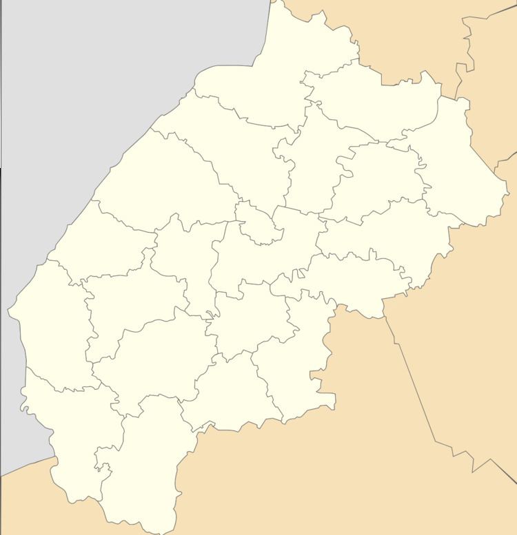
Map of Holovets'ko, Lvivska, Ukraine
Geography
The village is situated in the Ukrainian Carpathians along the river Holovchanka (Khitarka, Vandrivka ). The village is located at the foot of the legendary Makivka mountain.
It is at a distance 134 kilometres (83 mi) from the regional center of Lviv, 26 kilometres (16 mi) from the district center Skole, and 15 kilometres (9.3 mi) from the urban village Slavske.
History and Attractions
The first record of the village dates back to 1574 year.
In the village was an architectural monument of local importance Skole district (Skole district) — Church of the Epiphany (wooden) 1873, (1494-М). The church burned down January 28, 2007.
