
Country United States Time zone Central (CST) (UTC-6) Area 58 ha Local time Monday 11:39 AM | Elevation 1,265 ft (386 m) ZIP code 68310 Population 51 (2010) | |
 | ||
Weather -4°C, Wind N at 34 km/h, 71% Humidity | ||
Holmesville is an unincorporated community and census-designated place (CDP) in Gage County, Nebraska, United States. As of the 2010 census it had a population of 51.
Contents
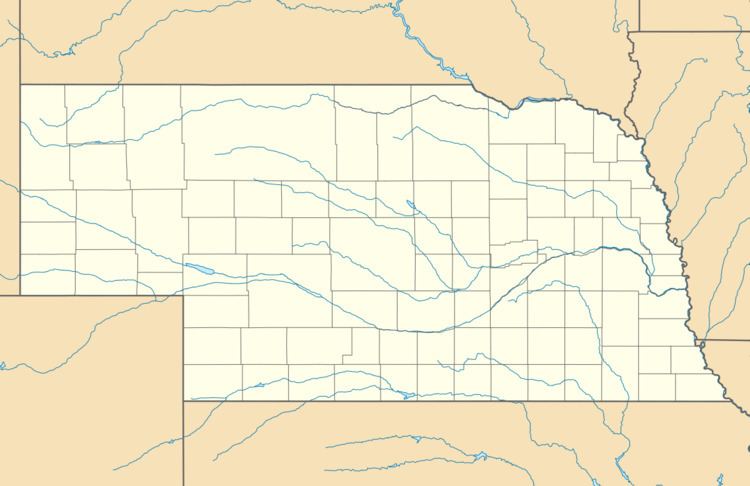
Map of Holmesville, NE 68310, USA
History
Holmesville had its start in the year 1880 by the building of the railroad through that territory. It was named for its postmaster, Morgan L. Holmes.
Geography
Holmesville is in central Gage County, on the east side of the Big Blue River, a south-flowing tributary of the Kansas River. The community is 9 miles (14 km) southeast of Beatrice, the Gage County seat.
According to the U.S. Census Bureau, the Holmesville CDP has an area of 0.22 square miles (0.58 km2), all of it land.
References
Holmesville, Nebraska Wikipedia(Text) CC BY-SA