
Country United States City St. Louis ZIP code(s) Part of 63116 Area 104 ha Population 3,701 (2000) | State Missouri Wards 11, 13 Website stlouis-mo.gov Area code 314 | |
 | ||
Restaurants Tenacious Eats, Chimicha Mexican Restaurant, Mikey Moes, Domino's Pizza, Royal Kebab | ||
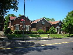
Holly Hills is a neighborhood located in South St. Louis, Missouri, near the intersection of I-55 and Loughborough Avenue. The neighborhood is defined by Bates and Walsh on the Northeast, Holly Hills on the Southwest, Morganford St on the Northwest and Grand Boulevard on the Southeast. It is surrounded by Carondelet Park and the Boulevard Heights, Bevo Mill, Dutchtown and Carondelet neighborhoods.
Contents
Map of Holly Hills, St. Louis, MO, USA
Demographics
In 2010 Holly Hills was 81.2% White, 11.5% Black, 0.1% Native American, 2.0% Asian, 2.7% Two or More Races, and 2.3% Some Other Race. 5.4% of the population was of Hispanic or Latino origin.
References
Holly Hills, St. Louis Wikipedia(Text) CC BY-SA