Country United States ZIP code 27844 Elevation 75 m | Time zone Eastern (EST) (UTC-5) Area code(s) 252 Local time Monday 10:15 AM | |
 | ||
Weather 4°C, Wind NE at 13 km/h, 55% Humidity | ||
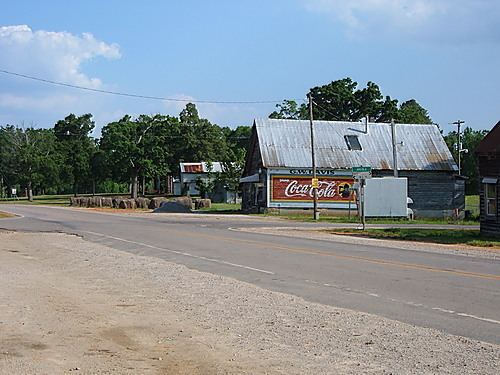
Hollister is a census-designated place and unincorporated community in Halifax County in northeastern North Carolina, United States. Hollister's ZIP code is 27844.
Contents
Map of Hollister, NC 27844, USA
History
Matthews Place and White Rock Plantation are listed on the National Register of Historic Places.
Geography
Hollister is located at 36°15′22″N 77°56′09″W (36.255984, -77.935818), in the Roanoke Rapids micropolitan area. Its elevation is 246 feet (75 m). Hollister has a population 2,950 according to the 2010 Census.
Schools
Hollister operates under Halifax County schools. Hollister Elementary School and Haliwa-Saponi Tribal School are in the community. Hollister Elementary is a public school that enrolls students in grades K-5, and Haliwa-Saponi Tribal is a charter school that enrolls students in grades K-12.
