
Parent range Palatine Forest Elevation 444 m | Mountain type Bunter sandstone | |
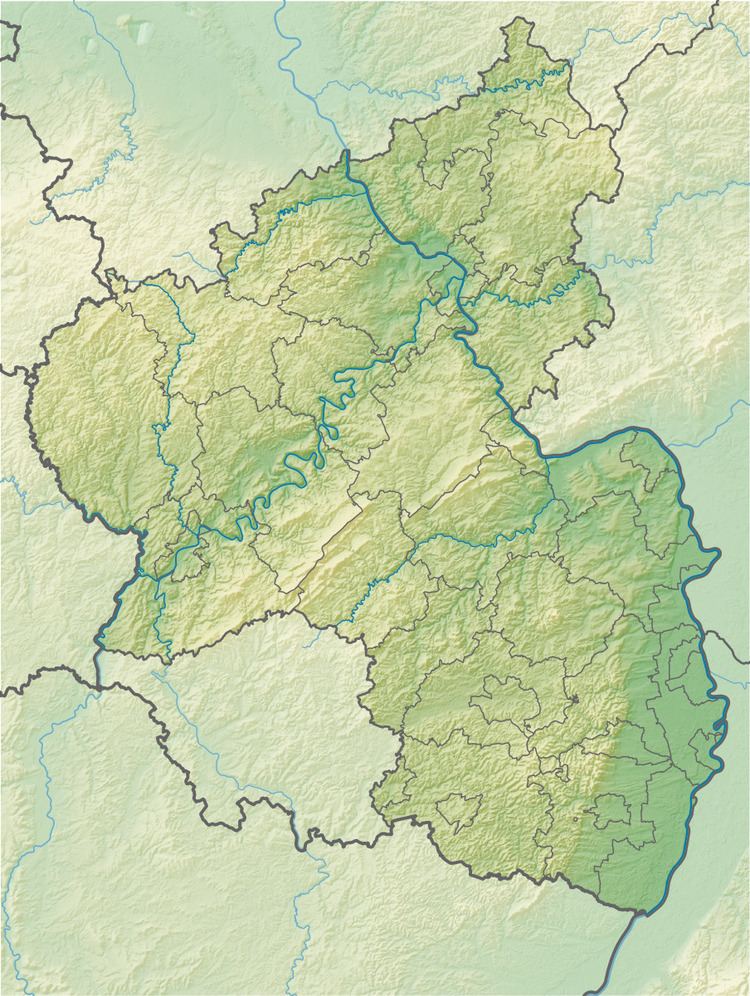 | ||
Location Rhineland-Palatinate, Germany | ||
The Hohe Bühl is a hill in the northern Palatine Forest in the German state of Rhineland-Palatinate, with a height of 444 m above sea level (NN).
Map of Hohe B%C3%BChl, 67319 Wattenheim, Germany
The hill straddles the parishes of Enkenbach-Alsenborn to the west and Carlsberg to the east and there is a small viewing tower at the top of its domed summit. The A 6 motorway from Saarbrücken to Mannheim runs past the top of the hill just to the south; this is the highest point on the motorway. The Eisbach river, a tributary of the Rhine, rises on the northern slopes of the mountain at a height of about 290 m above NN. Two kilometres downstream it is impounded to form the Eiswoog lake.
References
Hohe Bühl Wikipedia(Text) CC BY-SA