
- elevation 1,638 ft (499 m) | - elevation 207 ft (63 m) | |
 | ||
The Hogatza River is a 120-mile (190 km) tributary of the Koyukuk River in the U.S. state of Alaska. Beginning in the Gates of the Arctic National Park and Preserve, it flows generally southwest to meet the larger river west of Hughes. The river's name is from the Koyukon language, but the meaning is uncertain.
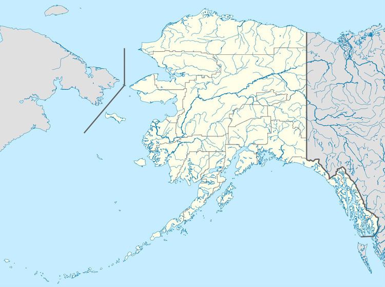
Map of Hogatza River, Alaska, USA
References
Hogatza River Wikipedia(Text) CC BY-SA