
Population 5,509 (2011 census) Postcode(s) 6065 Founded 1905 Federal division Division of Cowan | Established 1905 Area 240 ha Postal code 6065 | |
 | ||
Location 23 km (14 mi) N of Perth CBD2 km (1 mi) S of Wanneroo | ||
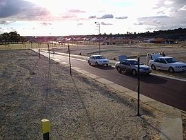
Hocking is a suburb of Perth, Western Australia, located within the City of Wanneroo. Until 1994 it was part of the suburb of Wanneroo. The suburb was named after Herbert Hocking, a local landowner, first Chairman of the Wanneroo Road Board and member of the Board from 1903-1931. He was also treasurer of the Agricultural Society in 1909.
Map of Hocking WA 6065, Australia
The suburb is home to many new houses (many still under construction), much vacant land under development, as well as remnant market gardens. The primary new housing estate is Belvedere Hills, developed by the Satterley Property Group.
References
Hocking, Western Australia Wikipedia(Text) CC BY-SA