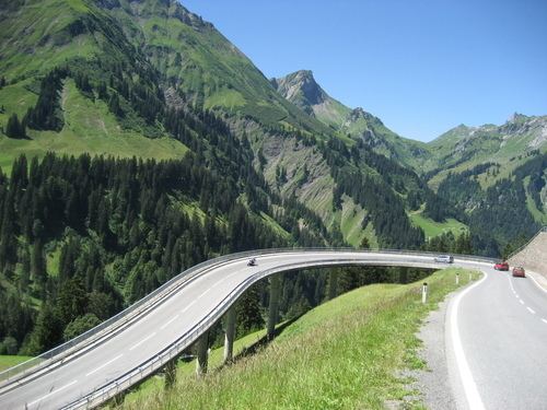
Traversed by Federal Highway B 200 Elevation 1,676 m | Location Austria Range Alps | |
 | ||
Similar Flexen Pass, Alps, Furkajoch, Körbersee, Großer Widderstein | ||
Hochtannberg (el. 1676 m.) is a high mountain pass in the Austrian Alps in the Bundesland of Vorarlberg.
Map of Hochtannberg Pass, 6888, Austria
It connects the Lech River valley near Warth with the valley of the Bregenzer Ache near Schoppernau. It is traversed by the Bregenzerwaldstraße (B 200). It connects the Allgäu Alps to the headwaters of the Lech.
References
Hochtannberg Pass Wikipedia(Text) CC BY-SA
