
Country South Africa District Thabo Mofutsanyane Established 1912 Area 12.6 km² Local time Monday 5:33 AM | Province Free State Municipality Mantsopa Postal code (street) 9740 Population 3,980 (2011) Area code 051 | |
 | ||
Weather 16°C, Wind NE at 6 km/h, 77% Humidity | ||
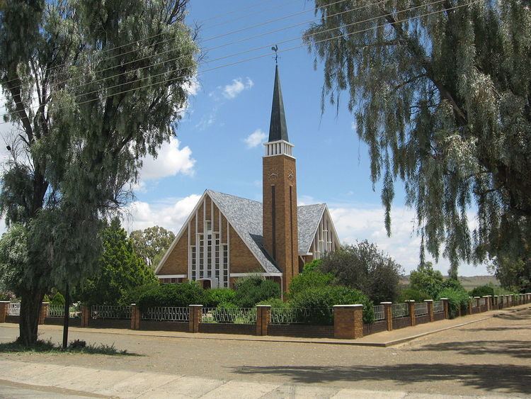
Hobhouse is a small farming town in the Free State province of South Africa, named after welfare campaigner Emily Hobhouse. Maize, wheat, cheese and livestock are produced here.
Map of Hobhouse, South Africa
Town 32 km north-east of Wepener and 51 km south-west of Ladybrand, near the Lesotho border. It was laid out on the farm Poortjie in 1912 and attained municipal status in 1913. Named after Emily Hobhouse (1860-1926), author and philanthropist who brought to public notice abuses in concentration camps during the Anglo-Boer War.
References
Hobhouse, Free State Wikipedia(Text) CC BY-SA