
Elevation 458 m Population 100 (2006) | Postal code 386 01 Area 4.74 km² | |
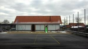 | ||
Hlupín is a village and municipality (obec) in Strakonice District in the South Bohemian Region of the Czech Republic.
Map of 386 01 Hlup%C3%ADn, Czechia
The municipality covers an area of 4.74 square kilometres (1.83 sq mi), and has a population of 100 (as at 28 August 2006).
Hlupín lies approximately 11 kilometres (7 mi) north-west of Strakonice, 63 km (39 mi) north-west of České Budějovice, and 95 km (59 mi) south-west of Prague.
References
Hlupín Wikipedia(Text) CC BY-SA