
Population 1,875 (2011 census) Civil parish Hinderwell Sovereign state United Kingdom | OS grid reference NZ792167 Local time Saturday 10:13 PM District Borough of Scarborough | |
 | ||
Weather 10°C, Wind SE at 13 km/h, 95% Humidity | ||
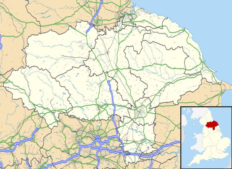
Hinderwell is a village and civil parish in the Scarborough district of North Yorkshire, England that lies within the North York Moors National Park.
Map of Hinderwell, Saltburn-by-the-Sea, UK
Hinderwell lies about a mile from the coast on the A174 road between the towns of Loftus and Whitby. It may also be visited by the Cleveland Way National Trail. Until 1958 the area was served by Staithes and Hinderwell railway stations.
The civil parish of Hinderwell encompasses:
According to the 2011 UK census, Hinderwell parish had a population of 1,875, a decrease on the 2001 UK census figure of 2,103.
References
Hinderwell Wikipedia(Text) CC BY-SA