
Country United States Founded 1788 Area 47.9 sq mi | State New York | |
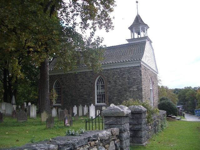
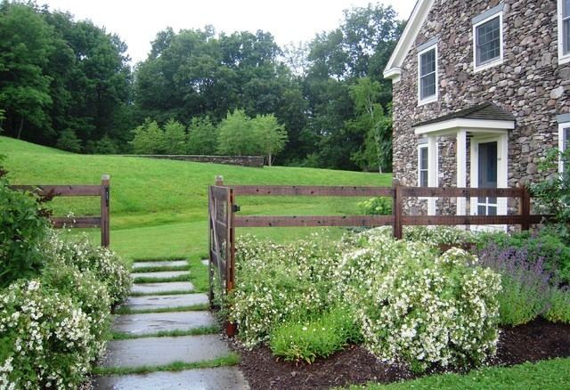
Hillsdale is a rural town in Columbia County, New York, United States. The population was 1,927 at the 2010 census. The towns topography consists of rolling hills (hence its name), open farmland and wooded tracts. It is dotted with many houses, barns and other structures from the 18th and 19th centuries. Hillsdale is a popular area for second-home buyers from New York City, due in part to its proximity to two ski areas and the amenities of nearby Great Barrington, Massachusetts, and Hudson.
Contents
- Map of Hillsdale New York
- Hillsdale new jersey my hometown
- 1957 2 of 5 lets go shopping at hillsdale
- History
- Geography
- Festivals and celebrations
- References
Map of Hillsdale, New York
Hillsdale new jersey my hometown
1957 2 of 5 lets go shopping at hillsdale
History
The region was taken from the town of Claverack in 1782. The town of Hillsdale was established in 1788.
In 1776 Henry Knox passed through Hillsdale while transporting cannons from Albany, New York, to aid the siege of Boston. There are two markers in Hillsdale along the Henry Knox Trail.
Geography
According to the United States Census Bureau, the town has a total area of 47.9 square miles (124.0 km2), of which 47.7 square miles (123.6 km2) is land and 0.15 square miles (0.4 km2), or 0.34%, is water.

The east town line is the New York – Massachusetts border.