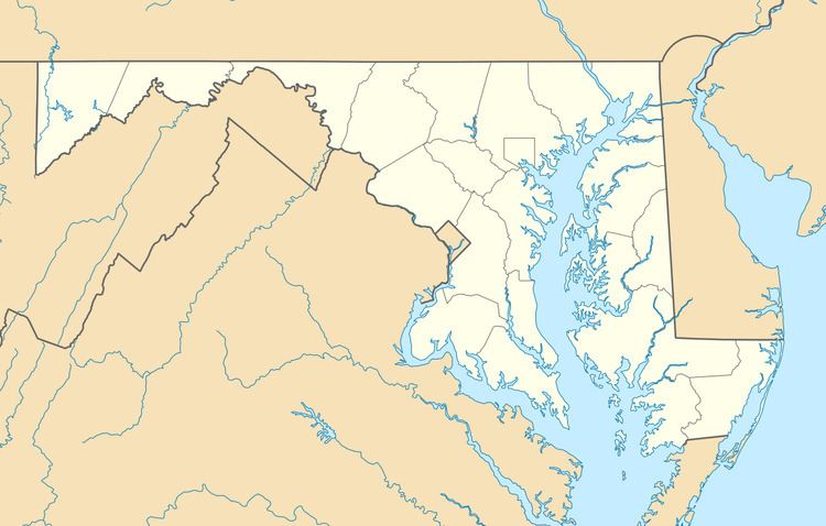
Country United States County Charles Local time Saturday 12:28 PM | State Maryland Time zone Eastern (EST) (UTC-5) | |
 | ||
Weather 2°C, Wind W at 19 km/h, 30% Humidity | ||
Hill Top, Maryland, is a rural community in Charles County, 2.4 km (1.5 mi) west-northwest of Welcome and 3.2 km (2 mi) east-southeast of Ironsides, on Hilltop Road, a loop off of Maryland Route 6 (locally known as Port Tobacco Road), and about 7 miles west of Port Tobacco. Hill Top existed as a community as early as 1850, in which year it is shown in the U.S. Federal Census as a census district. Hilltop is the seat of a Roman Catholic parish founded in 1851, whose first church building, St. Ignatius Church, was constructed in 1859.
Map of Hill Top, 2, Hill Top, MD 20646, USA
At the outbreak of the Civil War in 1861, a corps of Union artillery was stationed at Hill Top, a consequence of the county's perceived Southern sympathies. Hill Top is in the Nanjemoy Creek watershed.
References
Hill Top, Maryland Wikipedia(Text) CC BY-SA
