
East end: (Kiev) Length 486.5 km | West end: (Yahodyn) (12) | |
 | ||
Regions: Kiev, Kiev Oblast, Zhytomyr Oblast, Rivne Oblast, Volyn Oblast | ||
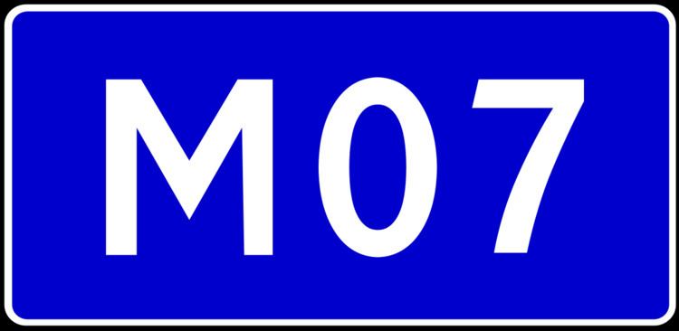
is a Ukrainian international highway (M-highway) connecting Kiev to Yahodyn on the border with Poland, where it connects to Polish regional road 12.
Map of %D0%9C07, Kyiv, Ukraine
In Soviet times, was identified as A255. Today, stretches through four oblasts and ends at the border checkpoint Yahodyn in Liuboml Raion (Volyn Oblast).
References
Highway M07 (Ukraine) Wikipedia(Text) CC BY-SA