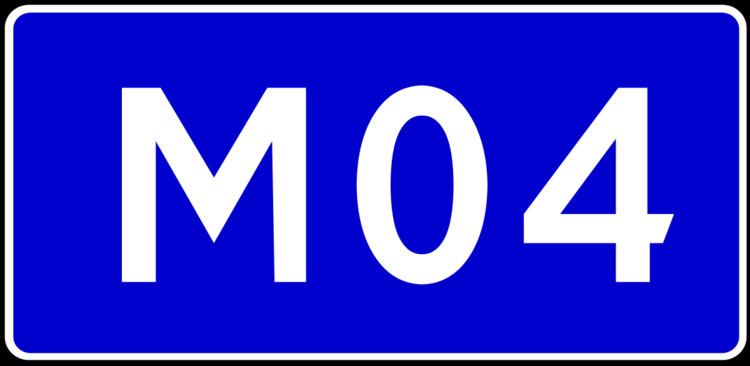
West end: (Znamianka) (M12) West end: (Znamianka) (M12) | East end: (Krasnodon) (M21) Length 566.9 km | |
 | ||
Majorjunctions: (Oleksandriya) (M22)(Novomoskovsk) West end: (Debaltseve) (M03) (M03) | ||
is a Ukraine international highway connecting Znamianka to Krasnodon on the border with Russia, where it connects to Russian International Highway M21.
Contents
Map of %D0%9C04, Ukraine
In Soviet times was part the highway. Today stretches through four oblasts and ends at the border checkpoint Izvaryne which is part of Krasnodon city (Luhansk Oblast).
War in Donbas
In eastern Ukraine, significant armed conflict has occurred along and near in the Donetsk and Luhansk Oblasts during the War in Donbas.
References
Highway M04 (Ukraine) Wikipedia(Text) CC BY-SA
