
South end: SK 14 near Macklin, SK SK Hwy 18 → Major cities Lloydminster | AB Hwy 18 → Length 159 km | |
 | ||
North end: AB 641 near Onion Lake, SK Specialized
and rural
municipalities: Vermilion River County, Wainwright No. 61 M.D. | ||
Highway 17 is a highway in Canada that straddles and criss-crosses the Alberta–Saskatchewan provincial boundary. The portion from the provincial boundary at Dillberry Lake Provincial Park to the provincial boundary 0.8 kilometres (0.5 miles) north of the North Saskatchewan River is designated Alberta Provincial Highway No. 17 by Alberta Transportation, commonly referred to as Highway 17.
Contents
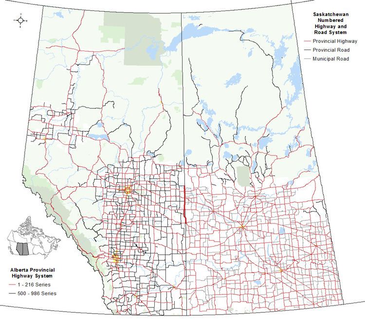
Map of SK-17, Canada
Highway 17 is considered a part of both provincial highway systems. The entire length of the highway is maintained jointly by the respective provincial governments.
Route description
In the south, Highway 17 begins in Saskatchewan (SK) at SK Highway 14 near Macklin, 3.6 km (2.2 mi) east of Alberta (AB). SK Highway 14 is the continuation of AB Highway 13.
The highway first enters Alberta before reaching Dillberry Lake Provincial Park. A short distance later, it intersects with AB Highway 610 and SK Highway 680 before reaching AB Highway 14, which becomes SK Highway 40. For 2.5 km (1.6 mi), Highway 17 runs east concurrently with AB Highway 14. The concurrency ends 0.8 km (0.50 mi) shy of the provincial boundary.
From AB Highway 14 to Lloydminster, Highway 17 crosses the Battle River, passes by the Hamlet of Rivercourse, intersects SK Highway 688, and intersects AB Highway 619. Its alignment runs concurrently with the provincial boundary from north of SK Highway 688 to north of SK Highway 798, crossing the Yellowhead Highway (Highway 16) within Lloydminster.
North of SK Highway 798, prior to its intersection with AB Highway 45 and SK Highway 3, Highway 17 briefly weaves into Saskatchewan and then Alberta before returning to the provincial boundary alignment. Further to the north, prior to crossing the North Saskatchewan River, it weaves back and forth between the two provinces again. After crossing the river, the highway again returns to the provincial boundary alignment and then ends at Onion Lake where it intersects with AB Highway 641.
Lloydminster
In Lloydminster, Highway 17 runs along the Alberta-Saskatchewan border. It is named 50 Avenue and is historically called Meridian Avenue. Despite Lloydminster's size and 50 Avenue functioning as one of the primary north–south routes in the city, the highway is an undivided two-lane road for most of its course through the city.
In 2011, the City of Lloydminster commenced a project to add lanes to Highway 17. Under the project, 50 Avenue will be widened in the southern part of the city. Through downtown, where widening is not feasible, the northbound lanes of Highway 17 will run along 49 Avenue within Saskatchewan, resulting in a couplet or one-way pair of streets.