
Population 14,494 (2006 census) State electorate(s) GeelongSouth Barwon Postal code 3216 | Postcode(s) 3216 | |
 | ||
LGA(s) City of Greater Geelong | ||
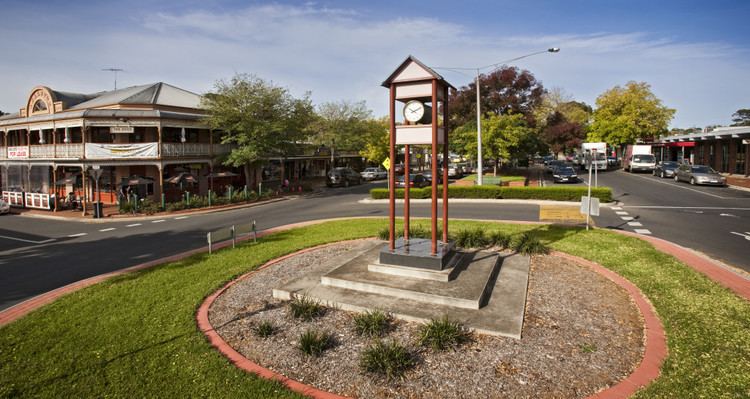
Highton is a residential suburb of Geelong, Victoria, Australia. It is bordered by Ceres and Wandana Heights to the west, the Barwon River to the north and east, the former Kardinia Creek to the south-east, and the Princes Highway and Pigdons Road to the south.
Contents
Map of Highton VIC 3216, Australia
History
Grazier John Highett set up a farm and finished building his house on a hill overlooking the Barwon River in 1837. Later his property became the Montpellier vineyard, hotel and picnic ground. Highton was named after an abbreviation of his name. Reserves, reservoirs and a school in this beautiful suburb still bear the Montpellier name.
The district had been extensively subdivided by the mid-1860s and boasted a hotel, a post office (opened on 1 December 1864) and a population of about 300 people. Vineyards, orchards and farmland were the major commercial activities for some decades. Between 1927 and 1933, two major orphanages and the Glastonbury children's home were opened in the suburb.
Residential development reached Highton by the post war 1950s, the scenic hills overlooking the Barwon River valley being popular with residents. The Highton shopping centre in Bellevue Avenue was constructed in the mid-1960s. Highton Post Office moved here in 1965 and a Highton South office opened the same year. Kardinia Creek separating the suburb from Belmont was placed underground. Further residential expansion continued southwards and by the 1990s housing had reached the Glastonbury Drive area.
Education
The Highton Primary School was the first school in the area, opening in 1854. Post-war growth led to the opening of Bellaire Primary School in 1963 and Montpellier Primary School in 1969. The Geelong Grammar School once occupied a campus in Highton from 1962 to 1998, and Christian College opened in the former St Augustine’s orphanage in 1980.
Transport
Highton is connected by road to the centre of Geelong by Barrabool Road, Shannon Avenue, and the Princes Highway. Traffic to Melbourne is able to use the Geelong Ring Road that passes to the west of the suburb.
Public transport to the area is provided by buses operated by McHarry's Buslines and CDC Geelong, under contract to Public Transport Victoria. The two routes run from Geelong railway station to Deakin University at Waurn Ponds, via the Geelong city centre. Route 42 serves the southern area of the suburb, also running through Belmont and Grovedale, and Route 43 serves the northern area, also running through Newtown.
Sport
Golfers play at the Queens Park Public Golf Course on Queens Park Road. The Geelong Amateur Football and Netball Club and the Newtown and Chilwell Cricket Club are also located at Queens Park. The Geelong Falcons are based at the oval adjacent to the Highton Shopping Centre. The Highton Bowls Club and tennis courts are also adjacent to the oval. On the boundary between Highton and Belmont is a third sporting field, home to the South Barwon Football and Netball Club.