Population 717 (2011) Civil parish Higher Hurdsfield Local time Saturday 11:03 AM | OS grid reference SJ935749 Unitary authority Dialling code 01625 | |
 | ||
Weather 11°C, Wind S at 16 km/h, 86% Humidity | ||
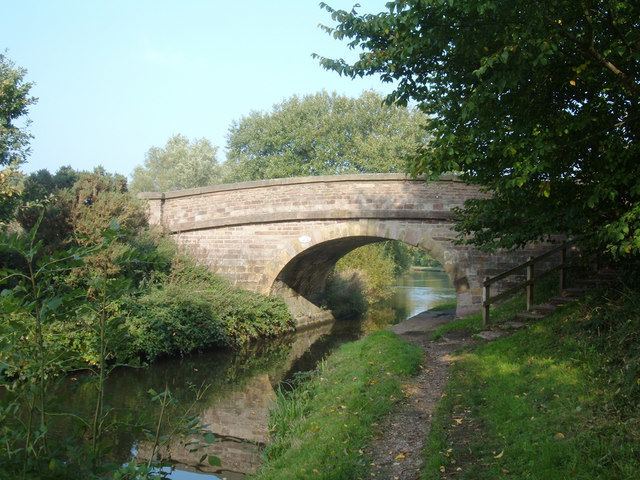
Higher Hurdsfield is a village and civil parish in the unitary authority of Cheshire East and the ceremonial county of Cheshire, England. It has a population of around 300, increasing at the 2011 Census to 717, and is situated on the eastern outskirts of Macclesfield, approximately 7 miles (11 km) from the border of Derbyshire and Cheshire. The nearest village is Rainow.
Map of Higher Hurdsfield, UK
Hurdsfield Golf Club (now defunct) was founded in 1900. The club continued until the time of WW2.
References
Higher Hurdsfield Wikipedia(Text) CC BY-SA
