
 | ||
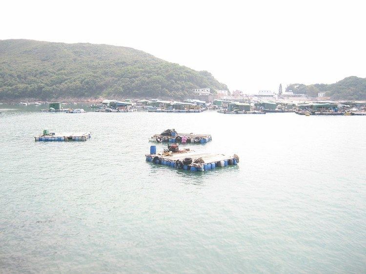
High Island or Leung Shuen Wan (Chinese: 糧船灣; pinyin: liángchuán wān; literally: "grain-ship-bay island") is a former island in the southeast of Sai Kung Peninsula, Hong Kong. The island was connected to the peninsula by two dams to enclose the Kwun Mun Channel (官門海峽) and form the High Island Reservoir. The construction of the dams spanned 10 years from 1969 to 1979. The area is part of the Sai Kung East Country Park. It is now a designated fish culture zone and features several seafood restaurants along the shore.
Contents
Geography
High Island had historically an area of 8.511 km² and was in 1960 the 4th largest island of Hong Kong. Its western shore is facing Rocky Harbour.
There are four villages, Pak A (北丫), Tung A (東丫), Sha Kiu (沙橋) and Pak Lap (白腊), all located along the west coast. In 2006, a few dozens people lived in these four villages, and about one hundred people lived in designated fish culture zones.
Tin Hau Temple
There is a Tin Hau Temple (糧船灣天后宮) on High Island, located between Pak A and Tung A. Built in 1741, it is one of the two temples which have a marine parade to celebrate the Tin Hau Festival (天后誕). The other is the Tin Hau Temple in Tap Mun which has it once every ten years. The Tin Hau Festival at High Island takes place every two years. The religious ceremony lasts six days and the marine parade is held on the eve of Tin Hau's birthday. The temple was listed as a Grade II historic building in 1996, and as a Grade III historic building in 2010.
Transportation
There are public piers in Pak A, Tung A and Sha Kiu, but there is no public ferry service to High Island. Sai Kung Man Yee Road (西貢萬宜路) runs through the northern part of High Island, roughly along High Island Reservoir, from West Dam to East Dam.