Population 64 (2006 census) Postcode(s) 6443 Postal code 6443 | Established 1907 Local time Saturday 1:32 PM | |
 | ||
Weather 23°C, Wind SE at 18 km/h, 34% Humidity | ||
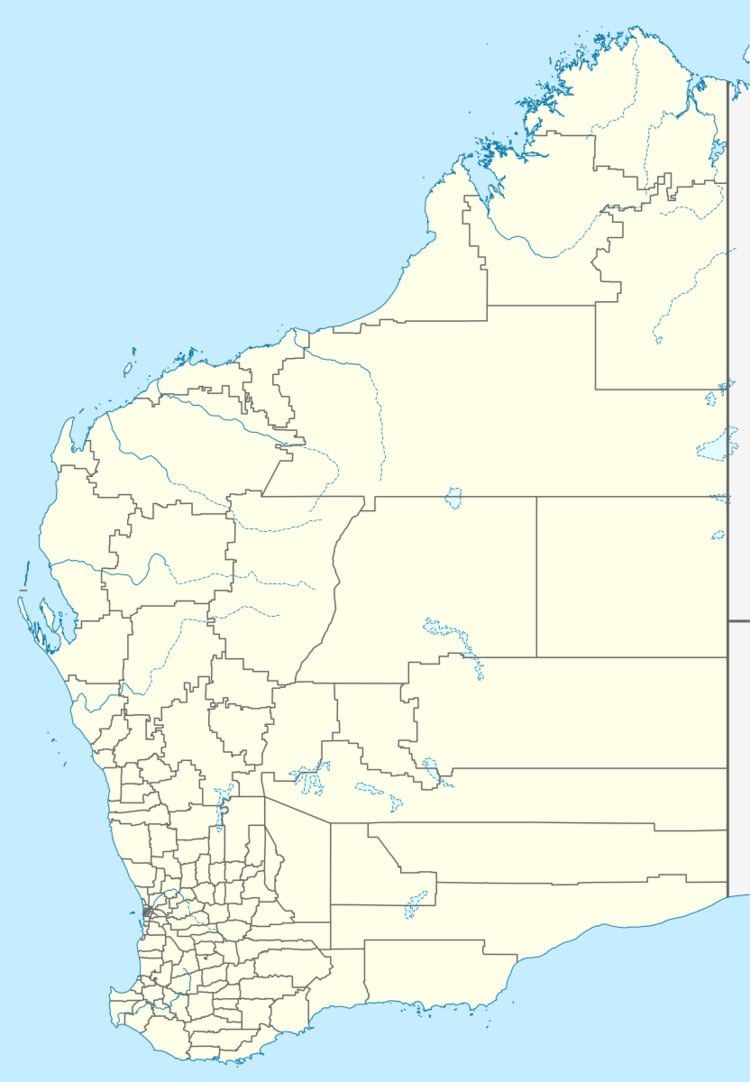
Higginsville is an abandoned town in the Goldfields-Esperance Region of Western Australia. At the 2006 census, Higginsville had a population of 64.
Map of Higginsville WA 6443, Australia
The town was gazetted in 1907 and is believed to have been named after the prospector Patrick Justice Higgins.
The town, now abandoned, is located on the Esperance Branch Railway, west of Lake Cowan. The currently active Higginsville Gold Mine is located nearby.
References
Higginsville, Western Australia Wikipedia(Text) CC BY-SA
