Area rank 1st in Vest-Agder Width 7 km (4.3 mi) | Area 20.4 km (7.9 sq mi) Length 4 km (2.5 mi) Highest elevation 291 m (955 ft) | |
 | ||
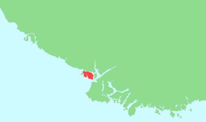
Hidra (historically spelled Hitterø) is the largest island in Vest-Agder county, Norway. The 20.8-square-kilometre (8.0 sq mi) island lies in Flekkefjord municipality, south of the mainland coast, separated by the 350-metre (1,150 ft) wide Hidrasund strait and the Listafjorden. The island has about 500 residents (in 2015), mostly living on the west side in Kirkehavn, where Hidra Church is located. The village of Rasvåg is another main village on the south side of the island. In 2007, the government of Norway studied the possibility of building an undersea tunnel to connect the island to the mainland without a ferry, but it was deemed to be too costly for the small benefit.
Contents
Map of Hydra, Idra 180 40, Greece
The island was the center of the old municipality of Hidra which existed from 1893 until 1965.
Geography
The island is almost entirely granite with some moraine deposits. The inner part of the island is much more hospitable, with oak and other deciduous trees. The island is divided nearly in two halves by the Rasvågfjorden, and the Eie Canal was built through the remaining isthmus so that small boats can pass all the way through.
Name
The Old Norse form of the name was Hitr. The name is probably derived from a word with the meaning "split" or "cleft" (referring to the fact that the island is almost split in two by the Rasvåg fjord). Prior to 1918, the name was spelled Hitterø.
