
Ward 4 Area 3.2 km² Population 11,858 (2006) | Quadrant NW Established 1990 Elevation 1,135 m Local time Friday 8:05 PM | |
Weather -18°C, Wind NE at 8 km/h, 73% Humidity | ||
Hidden valley calgary ab flash hail rain and lighting storm
Hidden Valley is a residential neighbourhood in the north-west quadrant of Calgary, Alberta. It is located close to the northern edge of the city, and is bounded by Stoney Trail to the north, Beddington Trail to the east, Country Hills Boulevard to the south, and Shaganappi Trail to the west.
Contents
- Hidden valley calgary ab flash hail rain and lighting storm
- Map of Hidden Valley Calgary AB Canada
- Demographics
- Education
- References
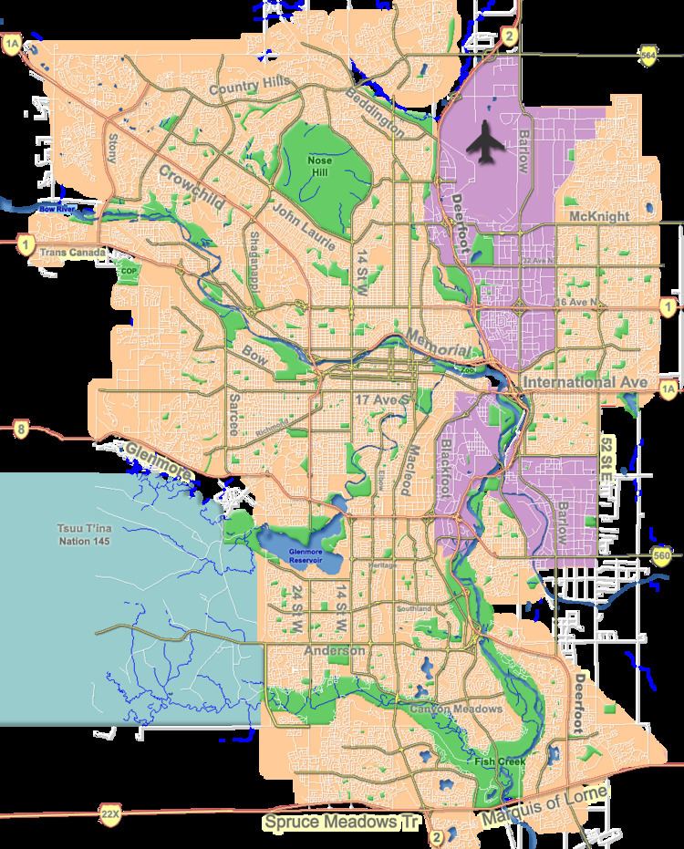
Map of Hidden Valley, Calgary, AB, Canada
Hidden Valley was established in 1990. It is represented in the Calgary City Council by the Ward 4 councillor.
Demographics
In the City of Calgary's 2012 municipal census, Hidden Valley had a population of 7004117990000000000♠11,799 living in 7003386700000000000♠3,867 dwellings, a 1.2% increase from its 2011 population of 7004116570000000000♠11,657. With a land area of 4.3 km2 (1.7 sq mi), it had a population density of 2,740/km2 (7,110/sq mi) in 2012.
Residents in this community had a median household income of $78,127 in 2000, and there were 6.4% low income residents living in the neighbourhood. As of 2000, 20.6% of the residents were immigrants. All buildings were single-family detached homes, and 2.1% of the housing was used for renting.
Education
The community is served by Hidden Valley Elementary (K-3) and Valley Creek Middle (4-9) public schools, as well as by St. Elizabeth Seton (K-9) (catholic).