
Country United States Elevation 346 m Local time Friday 7:04 PM | GNIS feature ID 0472777 Area 164.6 km² Population 739 (2000) | |
 | ||
Weather 0°C, Wind NE at 16 km/h, 33% Humidity | ||
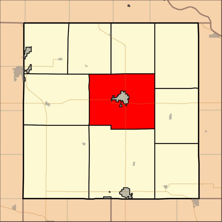
Hiawatha Township is a township in Brown County, Kansas, USA. As of the 2000 census, its population was 739.
Contents
Map of Hiawatha, KS 66434, USA
Geography
Hiawatha Township covers an area of 63.57 square miles (164.6 km2) and contains one incorporated settlement, Hiawatha (the county seat). According to the USGS, it contains one cemetery, Mount Hope.
The stream of North Fork Wolf River runs through this township.
Transportation
Hiawatha Township contains two airports or landing strips: Davis Airfield and Hiawatha Municipal Airport.
References
Hiawatha Township, Brown County, Kansas Wikipedia(Text) CC BY-SA