
Time zone AEST (UTC+10) Local time Saturday 10:09 AM | State electorate(s) Braddon Federal division Division of Braddon | |
 | ||
Location 18 km (11 mi) from Ulverstone
127 km (79 mi) from Launceston
154 km (96 mi) from Queenstown
291 km (181 mi) from Hobart Weather 19°C, Wind NE at 11 km/h, 85% Humidity | ||
Heybridge, Tasmania is a village on the northern Coast of Tasmania. The village is located where the Bass Highway crosses the Blythe River, and is bounded by the Blythe River National Park to the south and Bass Strait to the north.
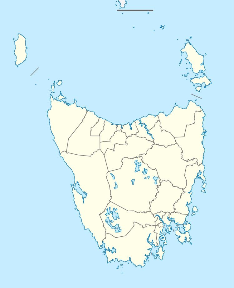
Map of Heybridge TAS 7316, Australia
Heybridge has a population of around 320 and is about 27m above sea level, and is 7½km from Burnie, Tasmania.
References
Heybridge, Tasmania Wikipedia(Text) CC BY-SA