Established 1898 State electorate(s) Blackwood-Stirling Postal code 6254 | Postcode(s) 6254 Founded 1898 Local time Saturday 1:22 AM | |
 | ||
Weather 12°C, Wind SE at 11 km/h, 75% Humidity Lga Shire of Bridgetown-Greenbushes | ||
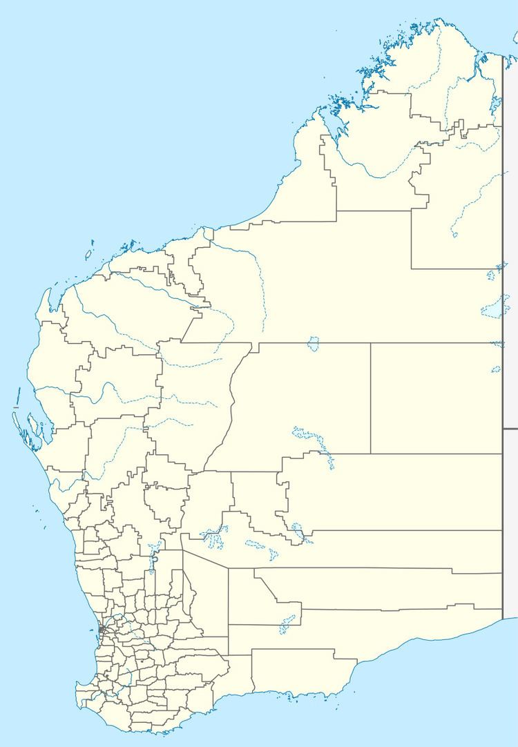
Hester is a small town in the South West region of Western Australia, 7 km north of Bridgetown on the railway.
Map of Hester WA 6255, Australia
It was gazetted a townsite in 1899, and was originally a siding on the Donnybrook to Bridgetown railway, opened in 1898. The town derives its name from the nearby Hester Brook, a name first recorded by surveyor John Forrest in 1866. Hester Brook is named after Edward Godfrey Hester, an early settler (late 1850s) of the Bridgetown district.
References
Hester, Western Australia Wikipedia(Text) CC BY-SA
