
Postcode(s) 3442 Postal code 3442 | Elevation 650 m | |
 | ||
Location 82 km (51 mi) N of Melbourne24 km (15 mi) N of Gisborne9 km (6 mi) E of Woodend9 km (6 mi) W of Romsey LGA(s) | ||
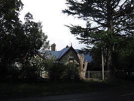
Hesket is a locality in the Macedon Ranges Shire, in Victoria, Australia on the northern side of the Mount Macedon Range. The settlement was originally known as Ferny Creek.
Map of Hesket VIC 3442, Australia
Hesket Post Office opened on 1 November 1866 and closed in 1971.
Today the locality consists of the Hesket Primary School (State School 1004) and the Hesket-Kerrie CFA fire station.
References
Hesket, Victoria Wikipedia(Text) CC BY-SA