
Country Canada Time zone Eastern (EST) (UTC-5) Elevation 90 m Province Ontario | City Ottawa Area 42 ha Population 4,953 (2011) | |
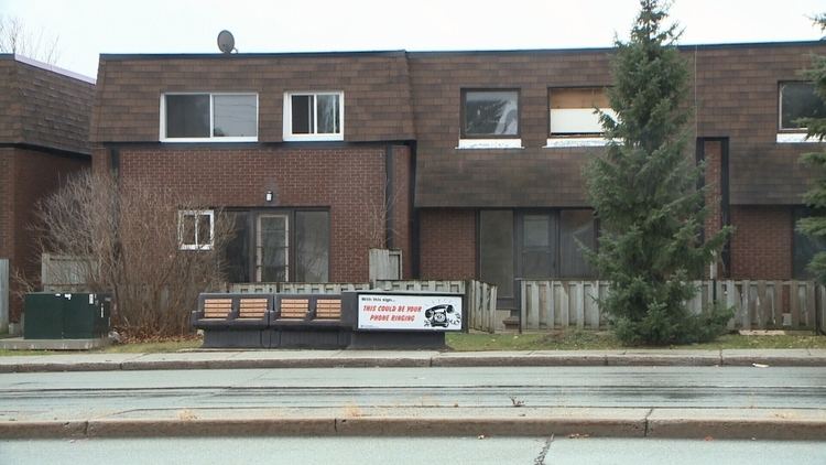 | ||
1490 heron road 308 heron gate ottawa k1v 6a5
Heron Gate is a neighbourhood in Alta Vista Ward in the south end of Ottawa, Ontario, Canada. The neighbourhood is triangular in shape. It is bounded on the north by Heron Road on the west by Heron-Walkley Park, and by Walkley Road on the south..
Contents
- 1490 heron road 308 heron gate ottawa k1v 6a5
- Map of Heron Gate Ottawa ON Canada
- Demographics
- Retailers
- References
Map of Heron Gate, Ottawa, ON, Canada
There are several parks in the neighbourhood, and served by Ridgemont High School), St. Patrick's High School, St. Patrick Intermediate and Charles Hulse Elementary School for education. The area has train tracks to the south. It is one of the most densely populated neighbourhoods in the city. A number of new developments were completed on the west of the neighbourhood between 2006 and 2008.
Demographics
The neighbourhood corresponds to Census Tract 5050007.02. It is extremely diverse with 30% of the population being Anglophone and 10% being Francophone. Other major languages include Arabic (19%), Somali (11%), Persian (3%) Creoles (2%), Nepali (2%), Spanish (2%), Urdu (2%), Amharic (1%) and Chinese (1%).
Retailers
The main shopping area in the Herongate region is the Herongate Mall. There are also stores nearby which are separate from the mall.