
Quadrant NW Sector Southeast | Ward 9 Elevation 652 m | |
 | ||
Hermitage is a residential area in the northeast portion of the City of Edmonton in Alberta, Canada. It was established in 1970 through Edmonton City Council's adoption of the Hermitage General Outline Plan, which guides the overall development of the area.
Contents
Geography
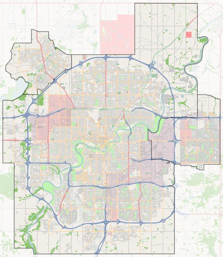
Located in northeast Edmonton, the Hermitage area is bounded by 50 Street to the west, Yellowhead Trail (Highway 16) and a Canadian National rail line to the south, the North Saskatchewan River valley to the east, and the Kennedale Ravine to the north. The eastern portion of the area is bisected by Victoria Trail.
The Kennedale Industrial area is located beyond 50 Street to the west, while the Beverly area is beyond Yellowhead Trail to the south and Edmonton's Clover Bar area is across the North Saskatchewan River to the east. The Clareview area is located across Kennedale Ravine to the north.
Neighbourhoods
The Hermitage General Outline Plan originally planned for an area that now comprises the following three neighbourhoods:
Land use plans
In addition to the Hermitage General Outline Plan, development in Canon Ridge and the majority of Overlanders are further guided by the Central and East Neighbourhoods – Hermitage Outline Plan adopted by City Council in 1975.