
Elevation 566 m Local time Friday 4:47 PM | Postal code 582 55 Area 28.63 km² | |
 | ||
Weather 4°C, Wind NW at 23 km/h, 84% Humidity | ||
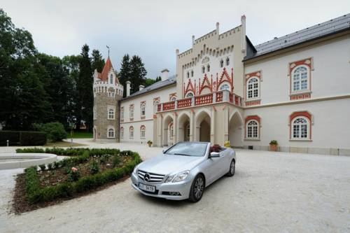
Herálec is a village and municipality (obec) in Havlíčkův Brod District in the Vysočina Region of the Czech Republic.
Map of 582 55 Her%C3%A1lec, Czechia
The municipality covers an area of 28.63 square kilometres (11.05 sq mi), and has a population of 1,087 (as at 2 October 2006).
Herálec lies approximately 13 kilometres (8 mi) south-west of Havlíčkův Brod, 18 km (11 mi) north-west of Jihlava, and 97 km (60 mi) south-east of Prague.
References
Herálec (Havlíčkův Brod District) Wikipedia(Text) CC BY-SA