
 | ||
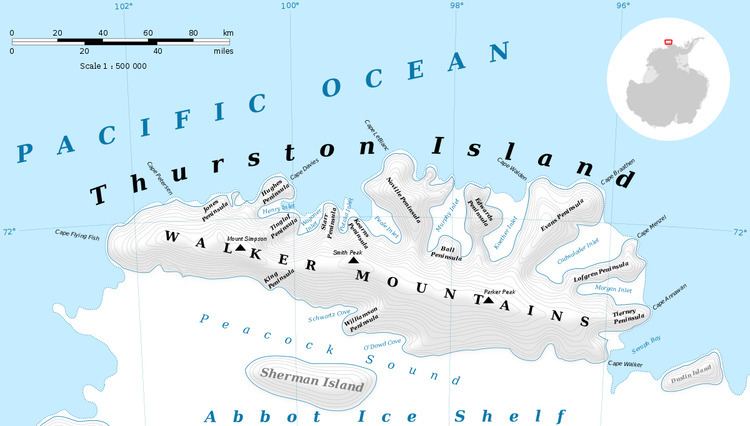
Henry Inlet is a narrow, ice-filled inlet about 12 nautical miles (22 km) long, indenting the north coast of Thurston Island, Antarctica, immediately east of Hughes Peninsula. The inlet was first plotted from air photos taken by U.S. Navy Operation Highjump, 1946–47, and was named by the Advisory Committee on Antarctic Names for Robert Henry, a photographer's mate with the U.S. Navy Bellingshausen Sea Expedition, who in February 1960 recorded features along Eights Coast from helicopters.
Maps
References
Henry Inlet Wikipedia(Text) CC BY-SA