
County Howard GNIS feature ID 436002 Local time Thursday 9:51 AM | State Indiana Elevation 262 m | |
 | ||
Weather 5°C, Wind E at 13 km/h, 50% Humidity | ||
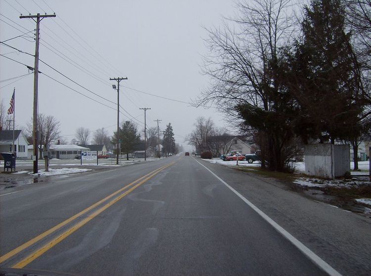
Hemlock (originally called Terre Hall) is an unincorporated community in southern Taylor Township, Howard County, Indiana, United States. It lies at the intersection of State Road 26 with County Road 450E.
Contents
Map of Hemlock, IN 46902, USA
Hemlock is part of the Kokomo, Indiana Metropolitan Statistical Area.
History
Hemlock was laid out in 1852. It was originally known as Terre Halle, but was renamed Hemlock before 1881.
Geography
Hemlock is located at 40°25′12″N 86°2′29″W.
References
Hemlock, Indiana Wikipedia(Text) CC BY-SA