
Country United States GNIS feature ID 453404 Area 187 km² Population 2,610 (2010) | ZIP codes 47842, 47847, 47854 Elevation 197 m Local time Thursday 6:58 AM | |
 | ||
Weather 0°C, Wind NE at 3 km/h, 83% Humidity | ||
Helt Township is one of five townships in Vermillion County, Indiana, United States. As of the 2010 census, its population was 2,610 and it contained 1,181 housing units.
Contents
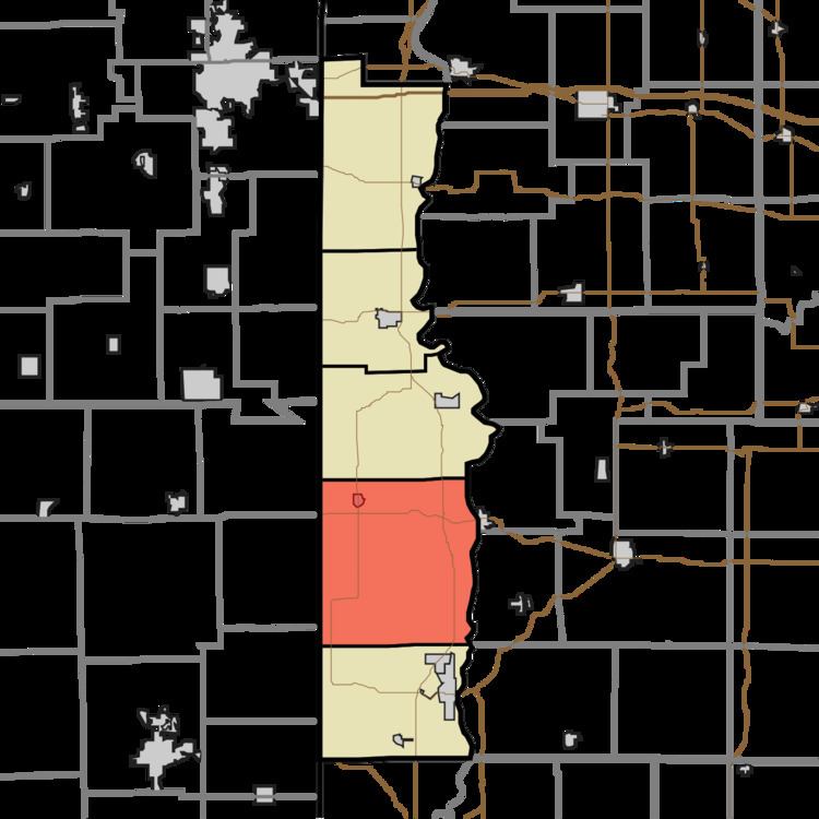
- Map of Helt Township IN USA
- History
- Geography
- Cities
- Unincorporated towns
- Extinct towns
- Cemeteries
- Airports and landing strips
- Landmarks
- School districts
- Political districts
- References
Map of Helt Township, IN, USA
History
Helt Township was named for Daniel Helt, a pioneer who settled in Vermillion County in 1818.
The Possum Bottom Covered Bridge and Salem Methodist Episcopal Church are listed on the National Register of Historic Places.
Geography
According to the 2010 census, the township has a total area of 72.18 square miles (186.9 km2), of which 71.64 square miles (185.5 km2) (or 99.25%) is land and 0.54 square miles (1.4 km2) (or 0.75%) is water.
Cities
Unincorporated towns
Extinct towns
Cemeteries
The township contains nine cemeteries: Andrews, Bales, Bogart, Dinsmore, Helts Prairie, Higbie, Highland, Hollingsworth and Pisgah.
Airports and landing strips
Landmarks
School districts
Political districts
References
Helt Township, Vermillion County, Indiana Wikipedia(Text) CC BY-SA