
OS grid reference TF518728 | Sovereign state United Kingdom Postcode district PE24 | |
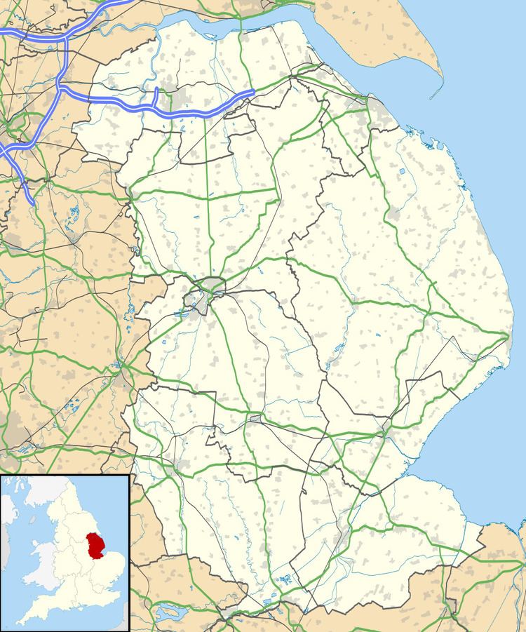 | ||
Helsey is a hamlet in the civil parish of Mumby, and the East Lindsey district of Lincolnshire, England. It lies on the A52 1 mile (1.6 km) north-east from Hogsthorpe, 3 miles (5 km) east from Willoughby and 1 mile south from Mumby.
Map of Helsey, Skegness, UK
In 1885 Kelly's noted that Helsey was in the parish of Hogsthorpe, an agricultural area of 2,870 acres (11.6 km2) supporting the production of wheat, beans and oats, and an 1881 population of 719.
References
Helsey Wikipedia(Text) CC BY-SA