
Local time Sunday 1:12 AM | ||
 | ||
Weather 19°C, Wind S at 16 km/h, 93% Humidity | ||
Heidenheimer is an unincorporated community in Bell County, Texas, United States. According to the Handbook of Texas, the community had an estimated population of 144 in 2000. The community is part of the Killeen–Temple–Fort Hood Metropolitan Statistical Area.
Contents
Map of Heidenheimer, TX 76501, USA
Geography
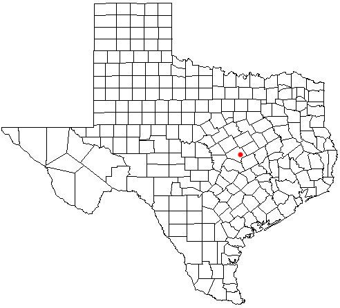
Heidenheimer is located at 31°01′06″N 97°18′10″W (31.0182372, -97.3027787). It is situated along U.S. Highway 190, approximately five miles southeast of Temple and fifty-one miles northeast of Austin in eastern Bell County.
History
Heidenheimer grew up around the Atchison, Topeka, and Santa Fe Railway in 1881. The community was named in honor of S. Heidenheimer, a Galveston merchant, who had smuggled cotton for the Confederacy to British ships waiting outside of the blockaded city of Galveston, he also served as the railroad's director. In 1884, Heidenheimer had 75 inhabitants and a few business. The local economy was dominated by the shipment of cotton, corn, and oats to other markets. By 1896, the population rose to 225. Major businesses in the community included two gins, a hotel, saloon, lumber operation, and a newspaper (the Sun). Heidenheimer School was the third largest rural school in Bell County with a total of 149 students and three teachers. The population peaked at 250 in 1925. That figure had declined to 125 by the late 1940s. A slight increase was registered by 1990, when 144 people lived in the community.
Heidenheimer's post office, first established in 1881, is still operational to date (zip code: 76533).
Education
Public education in the community of Heidenheimer is provided by the Academy Independent School District, which is based in the nearby city of Little River-Academy.