
District Eden Established 1855 Local time Sunday 8:02 AM Number of airports 1 | Elevation 84 m (276 ft) Area code 028 | |
 | ||
Weather 17°C, Wind E at 21 km/h, 86% Humidity | ||
Ousus land rover time lapse video heidelberg western cape south africa
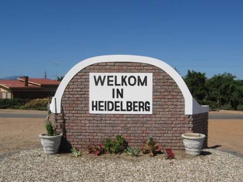
Heidelberg is a town in the Western Cape, South Africa. It is located near South Africa's south coast, on the N2 highway, 274 km east of Cape Town (about half way between Cape Town and Knysna). Heidelberg is just east of the Overberg region, and some consider it the beginning of the Garden Route. Heidelberg is part of the Hessequa Local Municipality. Fourie House on Fourie Street is the oldest house in Heidelberg.
Contents
- Ousus land rover time lapse video heidelberg western cape south africa
- Map of Heidelberg 6665 South Africa
- History
- References
Map of Heidelberg, 6665, South Africa
History
In 1716, Louis Fourie obtained grazing rights from Governor van der Stel and he settled alongside the Duivenhoks River. This is where he later constructed the Doornboom Homestead - registered in 1728 - and the Doornboom Farm was established.
The area was initially part of the greater Riversdale district until the Riversdale Dutch Reformed church council in 1855 bought a portion of the farm Doornboom on which to lay out the town when a new Dutch Reformed congregation was created for the farmers between Swellendam and Riversdale.
The town grew around the church and it was named in honour of the German town, Heidelberg, because of the Heidelberg catechism that was practiced in the church.
In 1903 Heidelberg became part of the railway network and became an important transport link for the wool, wheat, fruit, and tobacco industries of the area. The river, the Duivenhoks (Dovecote), was named by an explorer, Isaq Schrijver, who observed a lot of doves where the river flows into the Indian Ocean, at a place called Puntjie.