
Population 1,820 (2011 census) Postcode(s) 4110 Postal code 4110 | Established 1975 Founded 1975 | |
 | ||
Location 19 km (12 mi) from Brisbane GPO State electorate(s) Electoral district of Algester | ||
Heathwood is an outer suburb of Brisbane, Australia. It is 19 kilometres (12 mi) south of the Brisbane central business district. The suburb was declared a suburb in 1975.
Contents
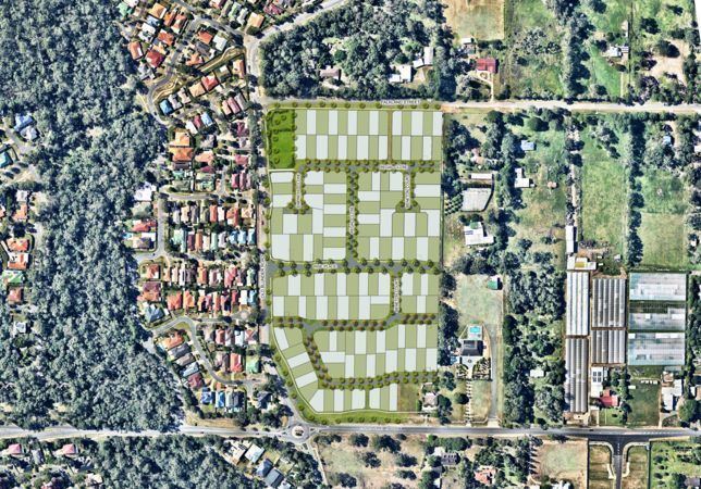
Map of Heathwood QLD 4110, Australia
Heathwood was named after an early settler in the district. The western boundary of Heathwood is marked by Oxley Creek.
Demographics
In the 2011 census, Heathwood recorded a population of 1,820 people, 50.3% female and 49.7% male.
The median age of the Heathwood population was 32 years of age, 5 years below the Australian median.
54.2% of people living in Heathwood were born in Australia, compared to the national average of 69.8%; the next most common countries of birth were New Zealand 7.6%, Vietnam 5.5%, England 4.7%, India 3.2%, South Africa 2.5%.
63.3% of people spoke only English at home; the next most common languages were 9.1% Vietnamese, 3.6% Hindi, 2.5% Mandarin, 1.1% Sinhalese, 1.1% Samoan.