
Type Road Opened 1943 | Length 24 km (15 mi) | |
 | ||
Route number(s) No Shield
(Liverpool-Lucas Heights)
A6
(Lucas Heights-Heathcote ) Former
route number Metroad 7 (1993-1999)
(Liverpool-Lucas Heights)
Metroad 6 (1999-2013)
Metroad 7 (1993-1999)
(Lucas Heights-Heathcote ) North end Newbridge Road (A34), Liverpool, Sydney | ||
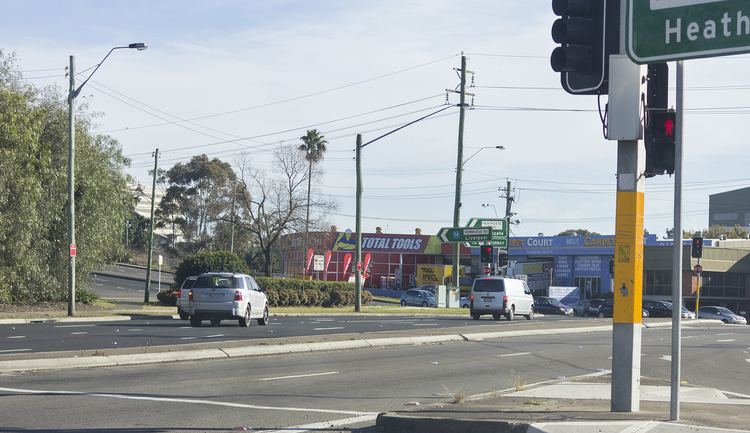
Heathcote Road is a major arterial road in the south of Sydney, New South Wales, Australia. It runs from Newbridge Road in Liverpool to the Princes Highway in Heathcote. Other major adjoining roads are the South Western Motorway in Liverpool and the New Illawarra Road at Lucas Heights. Heathcote Road plays a major role in the servicing of traffic travelling between the Illawarra and Western Sydney and also provides access to the Holsworthy Barracks. The road has a history of accidents, due to its narrow nature, the number of blind corners and the steep gradients.
Map of Heathcote Rd, New South Wales, Australia
Heathcote Road was constructed during the second World War as a military defence route and a way to bypass the causeway crossing of the Woronora River between Menai and Engadine. Construction began in 1940 and was completed in 1943.